After departing the Valley of the Gods, I set off for the Needles District of Canyonlands National Park.
Canyonlands is one of my favorite national parks, and I know I’m not alone in that assessment. Author Edward Abbey described the area as “the most weird, wonderful, magical place on earth — there is nothing else like it anywhere.”
My goal was to hike to an overlook of the confluence of the Green River and Colorado River.
The Green is a tributary to the Colorado that starts in Wyoming’s Wind River Range. At certain times of the year, the colors of the Green and Colorado stand in a sharp contrast befitting their names (“Colorado” is derived from “red colored”).
I wouldn’t be so lucky on this day, but it was still a beautiful hike to a stunning view.
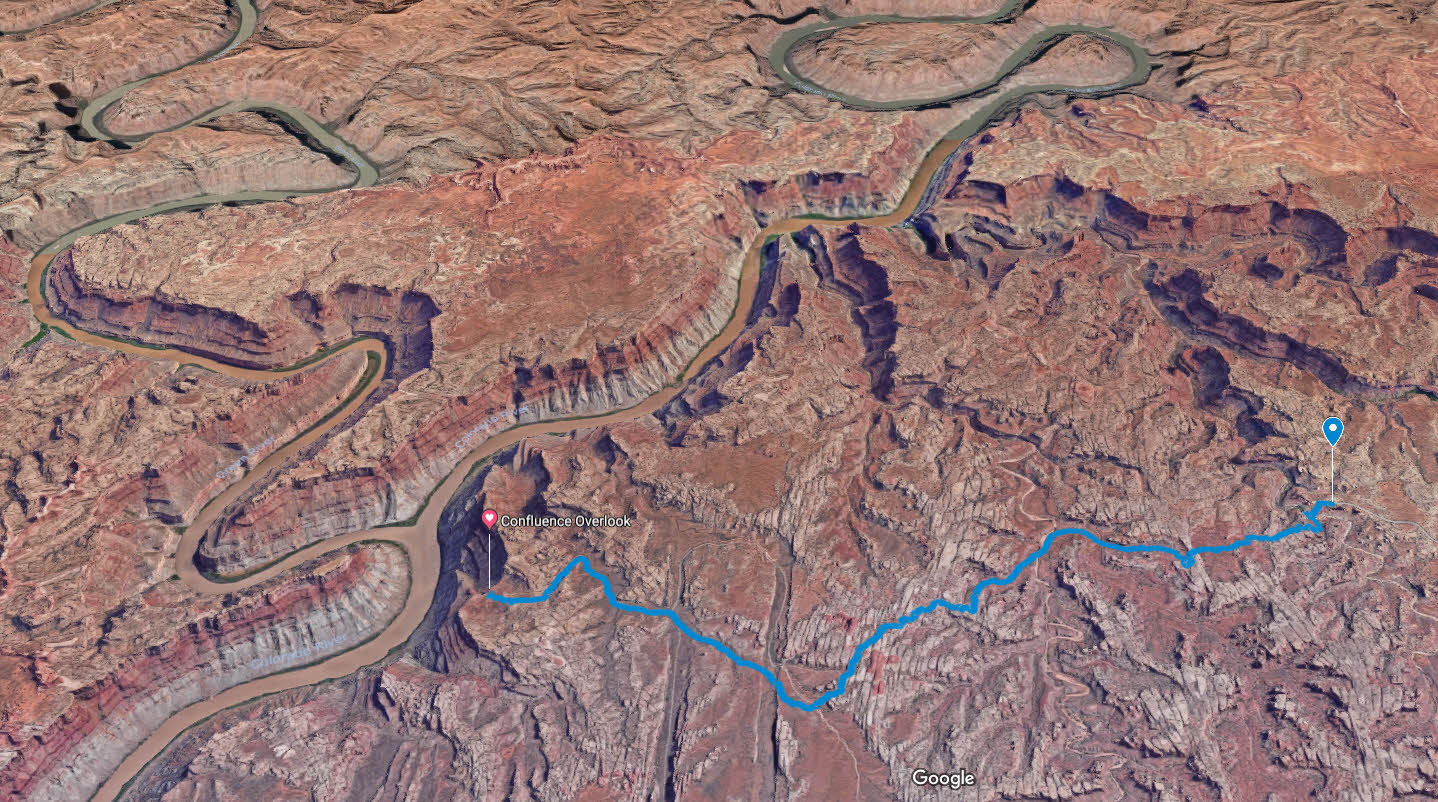
Here’s a map of my route that I traced using a GPS app.
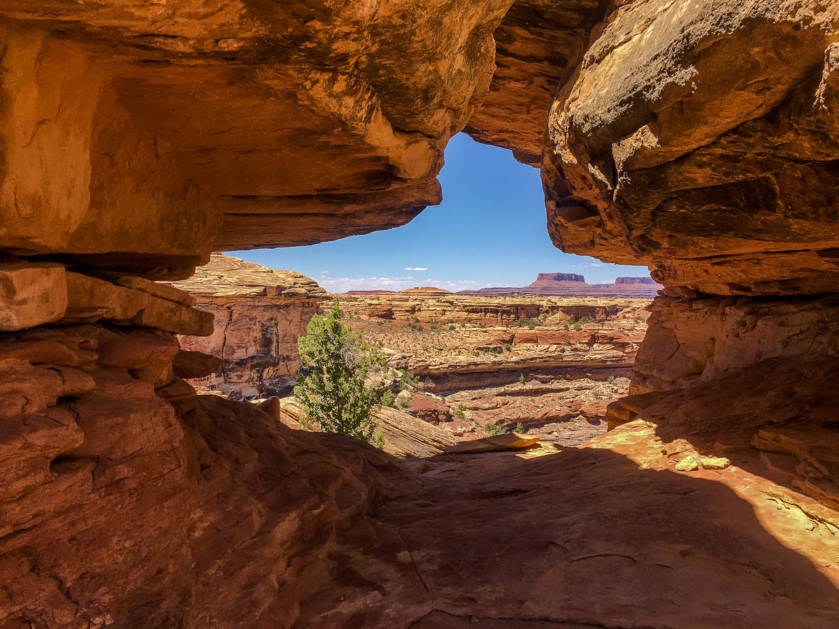
The 10-mile round trip hike wasn’t technically difficult, but it involved a good deal of climbing and descending the region’s slickrock formations. I set off in the middle of the afternoon and the hottest part of the day, but thankfully this was May and not July.
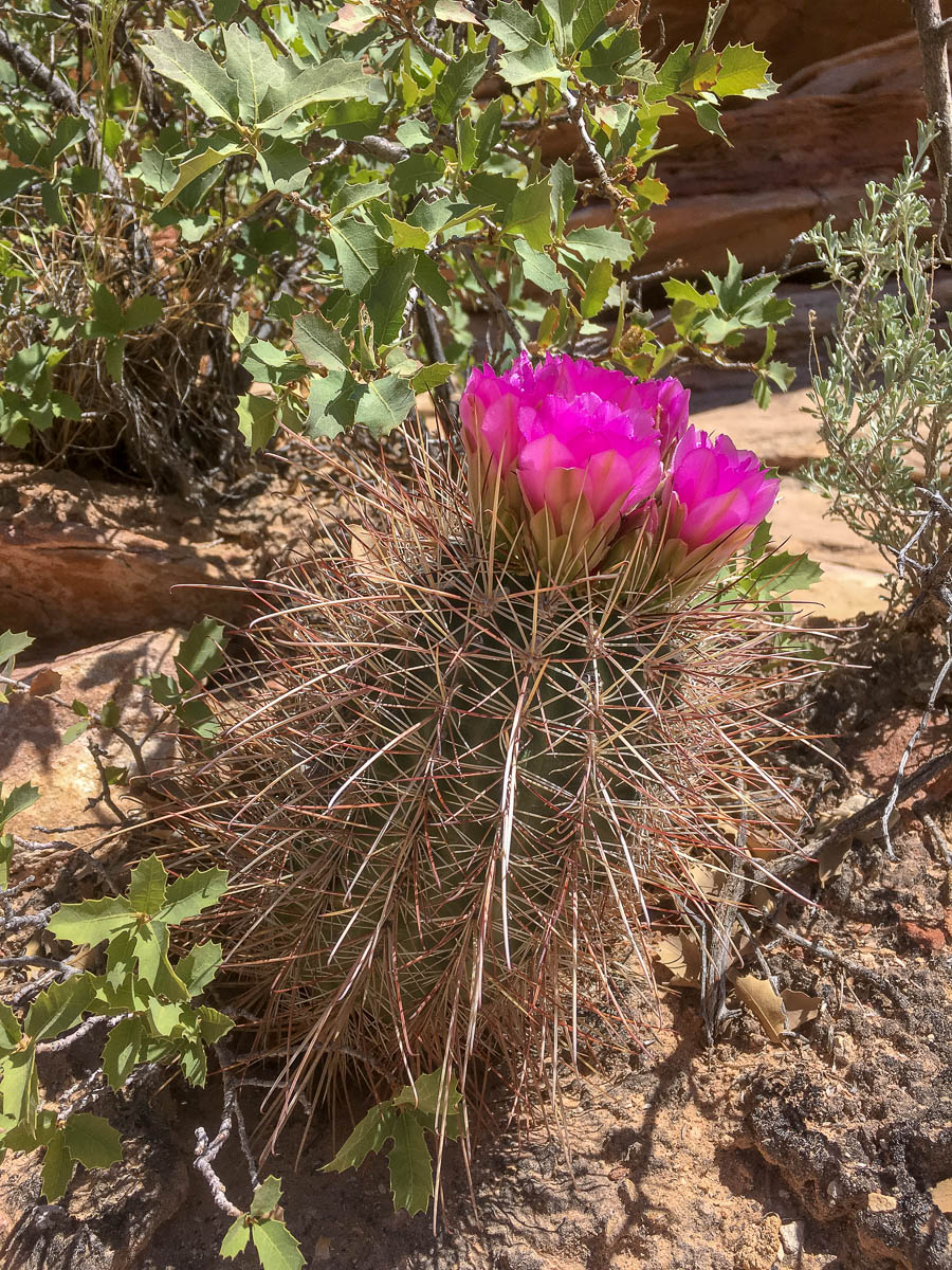
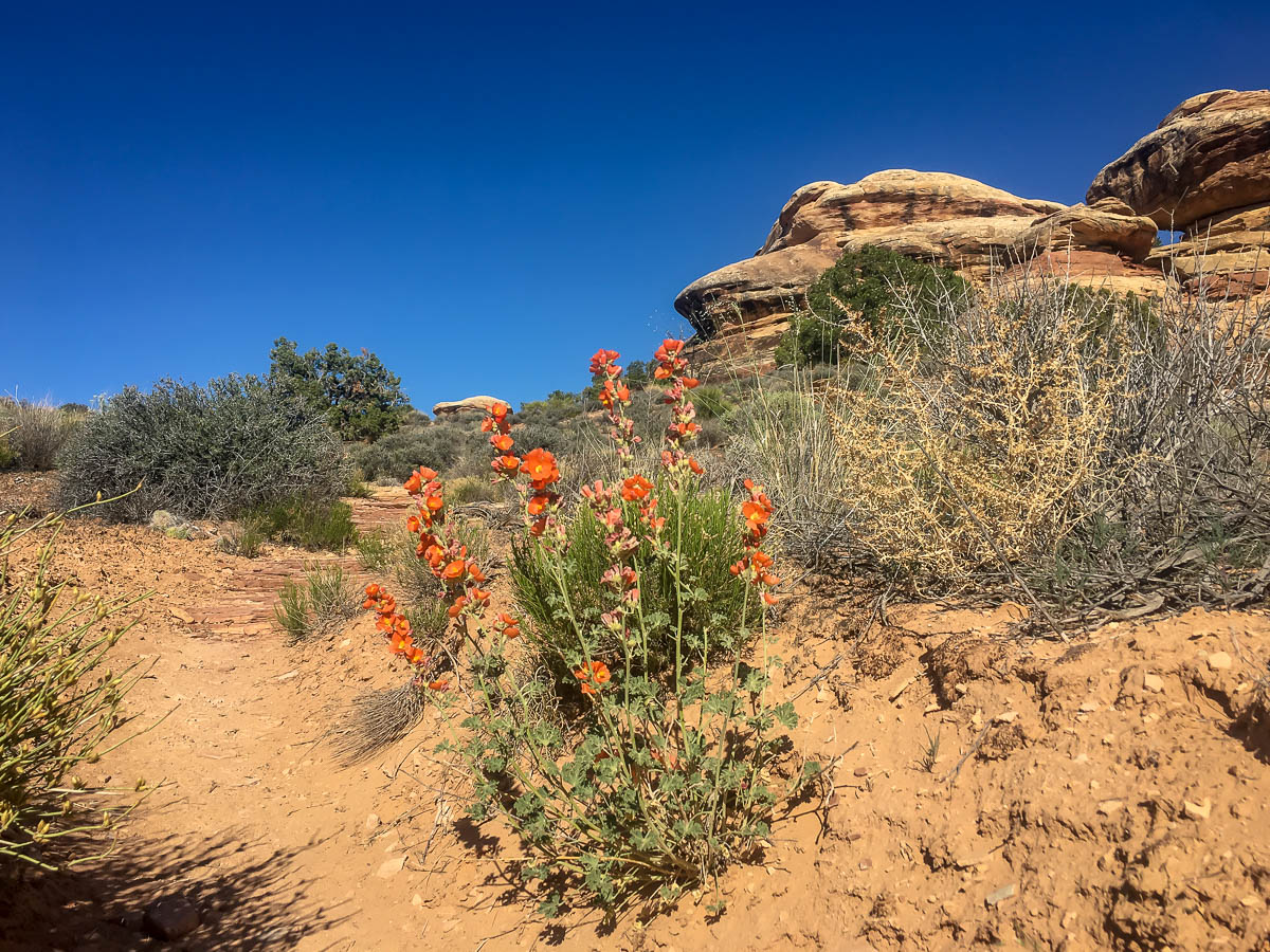
Along the way, I saw plenty of cacti and other plants blooming. The region was in a significant drought, yet there were still plenty of colorful flowers along the trail.
National parks tend to get pretty crowded, but once I was a mile or two into the hike, I felt totally alone and would only pass by a handful of people the rest of the day.
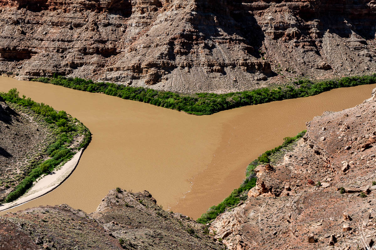
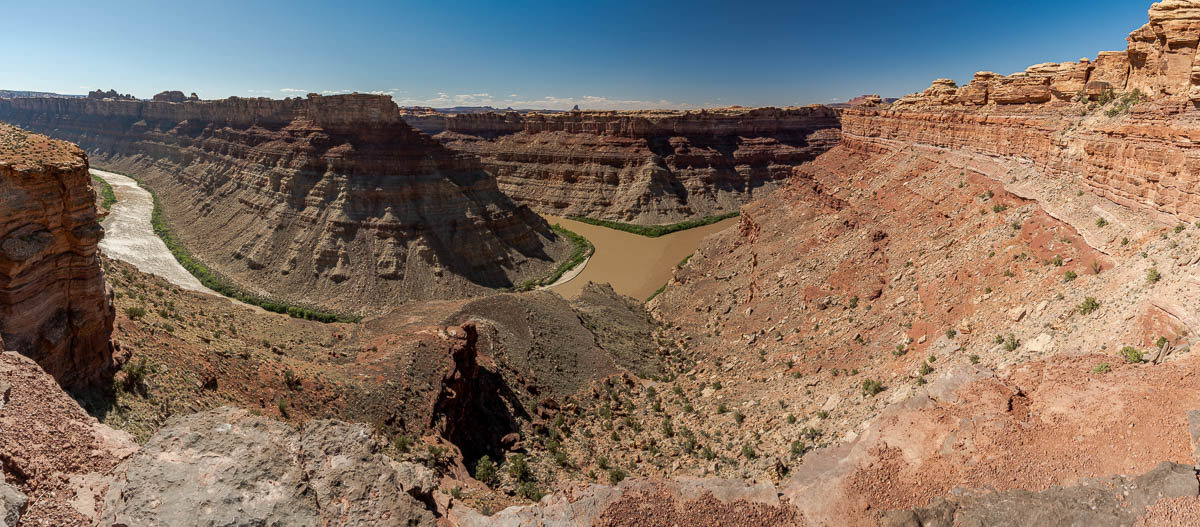
After a few hours of hiking, I reached the overlook. The two rivers didn’t look much different in terms of their colors, but it was still an impressive vista.
The preceding winter had been a relatively dry one in the headwaters of the Colorado River, but it had been a wet year in the Wyoming mountains where the Green originates. Accordingly, it looked like the Green (coming in from left in the photo below) was overpowering the Colorado at the confluence.
Each of these rivers begins far, far away in the high country of Wyoming and Colorado, so to see them finally uniting here in Utah after their long, circuitous journeys was a real treat.
It was getting late in the day and I still had five miles of hiking between me and the car, so I set off again on the trail. I was grateful for the lower angle of the sun, not only because it was cooling off but also because the light was getting warmer.
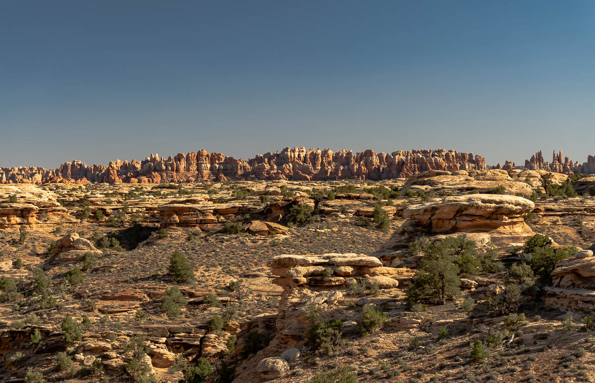
On the hike out, the Needles rock formations were starting to glow as the golden hour approached. I’d love to go back to Canyonlands and explore that part of the park.
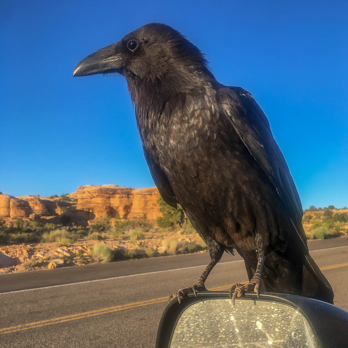
When I arrived at the trailhead, just before sunset, the parking lot had totally emptied out, except for my vehicle and one other. There were some ravens hopping around and one of them decided to be bold and perch on my side view mirror. Ravens, along with crows, magpies, and other corvids, are among the most intelligent animals, especially when it comes to acquiring food, so I’m assuming this guy was looking for a handout.
This was the first big hike I’d done since last summer, so I was exhausted. After shooing away the raven, I hit the road, exited the park, and headed north to find my final camping spot of the trip.
This post is part of a series on my May 2018 trip to Southeast Utah. Check out the rest:
- Day 1: Goblin Valley State Park photos
- Camp 1: Little Flat Top drone flights and video
- Day 2: Dirty Devil and Lake Powell Overlooks
- Camp 2: Bears Ears National Monument photos
- Day 3: Valley of the Gods photos
- Day 4: Canyonlands National Park confluence hike
- Camp 4: Finding my North Star in the Abajo Mountains
- Day 5: Colorado River drone footage near Moab, Utah
Mitch Tobin
Mitch Tobin is an author, multimedia journalist, and FAA-certified drone pilot based in Durango, Colorado.
Related Posts
3 Comments
Comments are closed.
[…] The next stop on my road trip was Canyonlands National Park and a special hike I’d always wanted to tackle . . . […]
[…] Day 4: Canyonlands National Park confluence hike […]
[…] a long and challenging hike to the confluence of the Colorado River and Green River, I didn’t have much time to find a spot before it got […]